Urban and post-industrial land in Italy
The agricultural and natural land taken by logistics hubs has become critical in Italy. Between 2006 and 2021, the creation of new logistics centers and the expansion of existing ones led to the loss of over 2,290 hectares of (mostly) agricultural land, and the trend is clearly growing1.
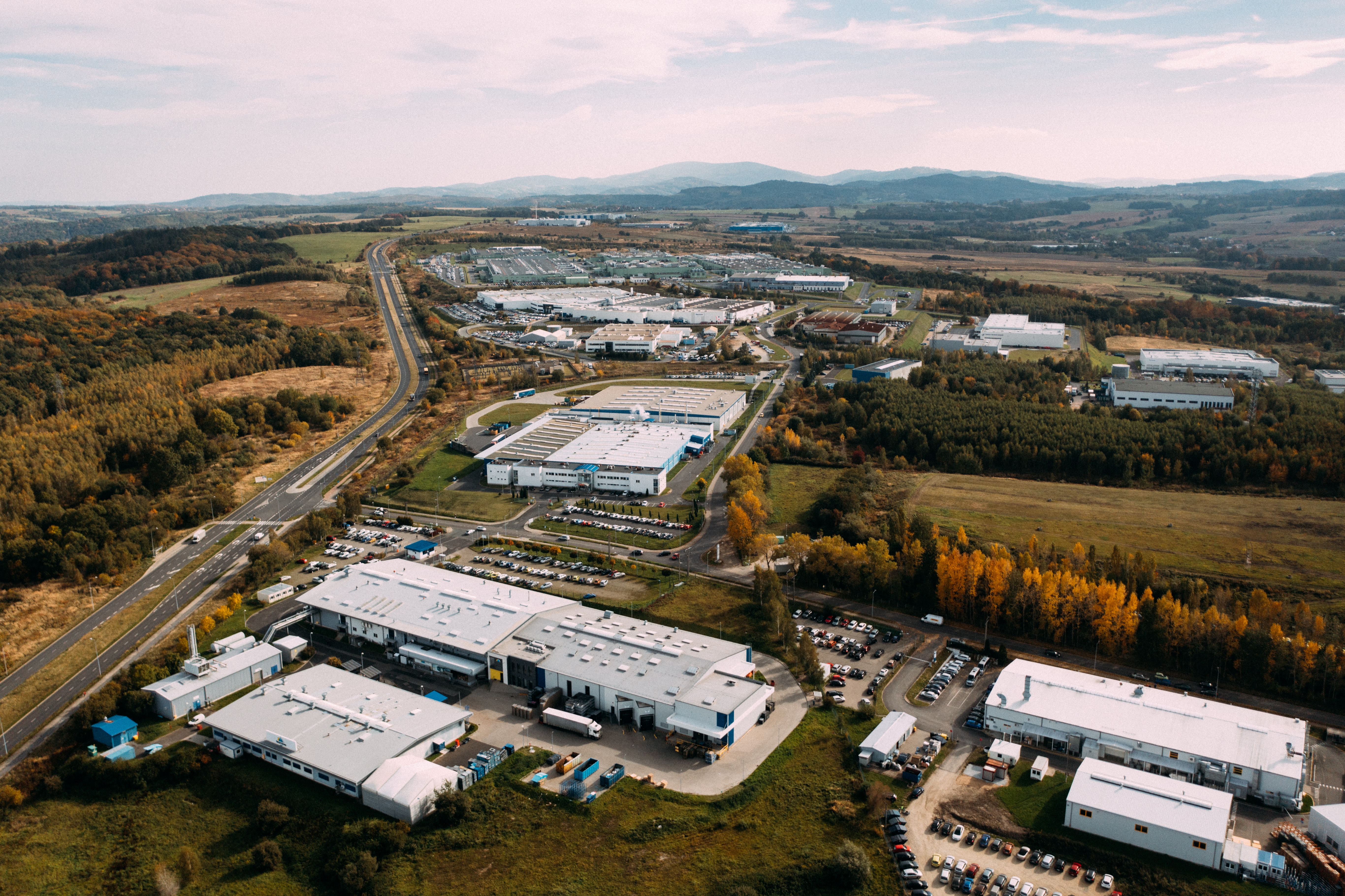
Soil threats to lands taken by logistic hubs
The global spread of the COVID-19 pandemic has accelerated the expansion of e-commerce, changing the traditional business chain and making e-commerce the preferred channel for buying products during the lockdown restrictions. The growth of e-commerce has generated a proliferation of terminals, warehouses and other logistics facilities that allow companies to satisfy the “new consumer”, especially in the post-pandemic period. This dynamic has increased the demand for cheaper land to locate new logistics hubs in suburban areas, thus threatening the traditional leisure and shopping network.
A land use/land cover change analysis conducted by CRCS in the regions of Lombardy (North) and Friuli Venezia Giulia (North-East) based on detailed photo interpretation (2012-2019) revealed how the industrial, commercial and artisan functions have grown mainly at the expense of agricultural land with huge asymmetries. While in Lombardy, the construction of new logistics hubs shaped the most recent land take process while generating the neologism “logistics sprawl”, this did not hold true for FVG, which, in contrast, experiences a molecular proliferation of residential, industrial, commercial and infrastructural uses, while logistics hubs, from a strictly quantitative analysis, are less relevant.
Related challenges
Logistic Hubs have significant impacts on the soil resource and related Ecosystem Services (ESs). Logistics have extremely different effects on Natural Capital compared to industry and commerce. Besides, if specific laws do not consider not only the past but also the residual building capacity, the large stock of undeveloped industrial, commercial, and logistic hubs will likely remain so, despite the economic crisis of the real estate sector. As a consequence, the application of policies hindering land take will fail to address the goal of “no net land take by 2050”. Both regional land take limitation laws (n. 31/2014 in Lombardy and n. 6/2019 in FVG), did not consider the above-mentioned aspects, ignoring the peculiar quantity, distribution, form and speed of a complex, difficult-to-govern phenomenon.
How does it affect soil
Lombardy: 50% of the land take is composed of productive, craft, and commercial functions, including warehouses, logistic areas, and productive settlements for agricultural uses. While detailing these functions, three main uses emerged: firstly, the productive/industrial activities have taken over about 450 ha, followed by the logistics activities, which occupy about 280 ha and the commercial areas that cover 190 ha. The average size of new logistics hubs is approximately 3.5 ha, 67% of the total is less than 3 ha, while the remaining is over 10 ha.
Friuli Venezia Giulia: the highest share of observed land take (more than 216 ha, equivalent to about 40% of the total area) concerns the development of new infrastructures. New residential areas represent the second most important class of land take (almost 10%, 52 ha), while land taken by new productive sites still occupies 8% (45 ha) of the total. 7% (40 ha) is composed of agricultural land consumed for the expansion or addition to existing productive farms, stables and other types of shaded areas for agricultural machinery or animals. Another important share (6%, 33 ha) is composed of new commercial areas, while logistics occupies 4% (24 ha). Other functions (services, infrastructures, quarries, photovoltaic panels, and other land uses), have a share that ranges between 1% and 5%.
Possible solutions
Local Urban Plans and Strategic Environmental Assessment procedures should carefully consider the distribution of new logistic hubs to estimate and manage the potential impact of these settlements.
Feasibility criteria for new logistics hub settlements should be defined by assuming that, whenever possible, no additional agricultural or natural land should be transformed at all (limitation), while in the case of feasible development, the procedure determines whether the transformation is sufficiently ecologically balanced (mitigation or compensation).
The Strategic Environmental Assessment procedure should define monitoring systems for the quantity and quality of land undergoing transformation. Priority should be given to brownfields, while greenfields could be used only after demonstrating the absence of any reasonable alternative of localization in the existent stock of already urbanized land.
What citizens can do
Citizens should be aware of the problem and try to intercept and act within the 4-tier corresponding to the Italian planning system of four levels of government (national, regional, provincial/metropolitan, and local). A national framework planning law should outline the principles and criteria for sustainable logistics localization while giving regions the tools and targets to minimize related impacts for the amount of land taken. Regions should define a planning guideline for setting strategies for minimizing the impacts and maximizing the benefits of logistics. Regions could also regulate the quantity and localization of logistics hubs if a national coordination law was passed. The metropolitan cities and the local planning authorities should then define their spatial plans for land regulation according to the regional strategies, trying to minimize the impact of new land transformation and promoting the re-utilization of brownfields towards the densification, regeneration, and re-development of the existent stock of built-up land.
1. (Munafò, M. (a cura di), 2022. Consumo di suolo, dinamiche territoriali e servizi ecosistemici. Edizione 2022. Report SNPA 32/22).
Source: Centro di Ricerca sui Consumi di Suolo (CRCS) Research Centre on Land Take